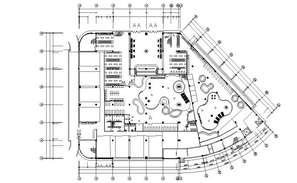
Location map of and town planning of haldia cad drawing details that includes a detailed view of symbol details and legends details, location map details with road details with name and numbers and street details, landscaping details, shopping center and gardens details, school and colleges and university, hospitals, residential area details, office building details, lakes and bridges and green area and rivers, dimensions colonies and much more of town planning details.