Urban Infrastructure Layout with Roads in AutoCAD File
Description
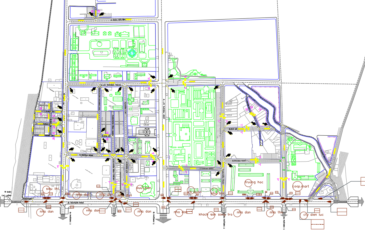
This urban infrastructure layout plan illustrates detailed road networks, utility zones, and public service areas like schools, supermarkets, and residential housing. Designed for smooth access and zoning efficiency, the map supports smart planning for future urban development and optimized city living.