Topographic Survey Map with Contours – DWG AutoCAD File
Description
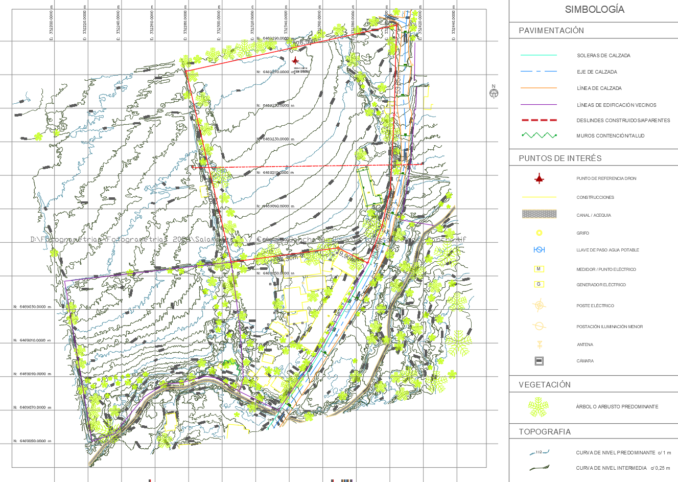
Download a detailed topographic survey map in AutoCAD DWG format featuring contour lines, elevation levels, vegetation, roads, and infrastructure. This CAD drawing is ideal for engineers, architects, and land surveyors working on site planning, land development, and environmental analysis projects.
File Type:
DWG
Category::
Urban Design Projects CAD Blocks & CAD Models for City Plann
Sub Category::
Town Planning CAD Blocks for Urban Design Projects
type:
Gold