Topographic Survey Plan for Land Development in DWG File
Description
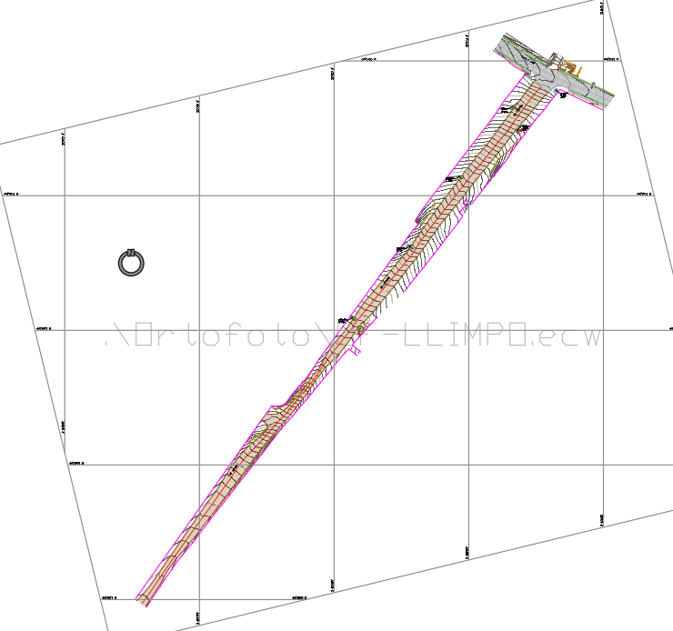
This topographic survey plan provides detailed elevation data, contour lines, and land features for site planning and development. Essential for engineers, architects, and surveyors, it helps assess terrain conditions, drainage, and construction feasibility. The survey ensures precise measurements for infrastructure and land use planning.
File Type:
DWG
Category::
Urban Design
Sub Category::
Architecture Urban Projects
type:
Gold