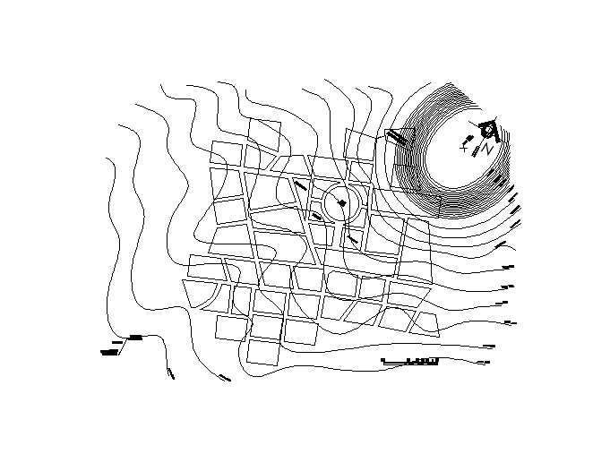
Topographic map DWG file, topo map cad block These maps depict in detail ground drainage forest cover, administrative areas, populated areas, transportation routes and facilities , and other man-made features.
San Lorenzo Map DWG File
Kalimantan Timur -bahasa I
30x52m plot filled and emp
Urban projects
Urban Town Planing design
Urban architecture master
Urban Colony Part planing
Historical place Divided P
Auditorium building plan d
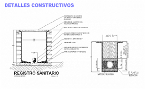
Main hole plan and section
Government Project
Cultural view of lotus squ