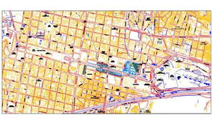
Landscaping zonal mapping details of an area drawing in autocad that shows zonal division details of an area with road network details and landscaping details.
City Urban planning DWG Fi
2D CAD Drawing Contour Sit
Colony planning with 20ft
Residential Plotting Schem
A land development area 2D
Accurate Town Planning Dra
Detail 2d plan of an area
Regional bank building det
Society key plan design
City Area CAD Architecture
Town planning detail 2d vi
Contour mapping of an area