LOGIN
HOME
CATEGORIES
UPLOAD FILE
PRICING
HOUSE PLAN
ABOUT US
CONTACT US
Topographic Survey Contour Map DWG CAD Files
Home
Categories
Urban Design
Public Space Projects
Topographic Survey Contour Map DWG CAD Files
Description
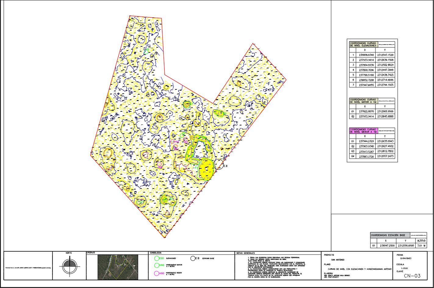
Download topographic survey DWG CAD files with contour lines, elevations, hydrological zones, and coordinate tables for site planning and land development.
File Type:
DWG
Category::
Urban Design
Sub Category::
Public Space Projects
type:
Free
Wang
Fang
View Profile
View Profile
Download
Add to libary
find Latest
Related
Files