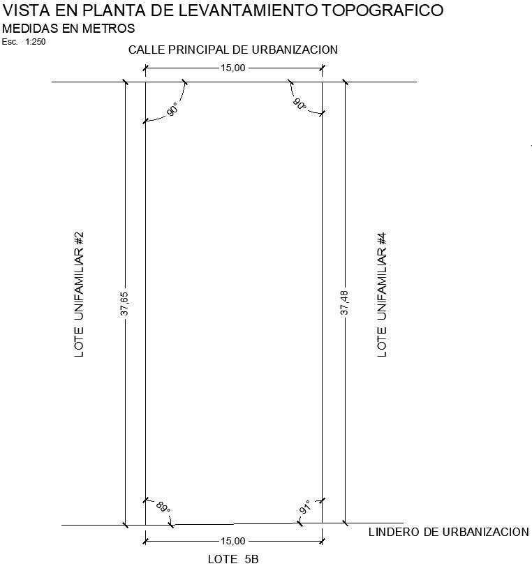
Topographic survey plan view with detailing
Description
This architectural drawing is Topographic survey plan view with detailing. Topographic surveys performed by a professional land surveyor are used to map and identify the terrain features of a land area. They accurately account for any existing objects on or near the surface, such as buildings, streets, manholes, walkways, retaining walls, utility poles, and trees. There are given dimensions are 15x37.65. For more details and information download the drawing file.

