LOGIN
HOME
CATEGORIES
UPLOAD FILE
PRICING
HOUSE PLAN
ABOUT US
CONTACT US
Contour plan
Home
Categories
Details
Construction Details
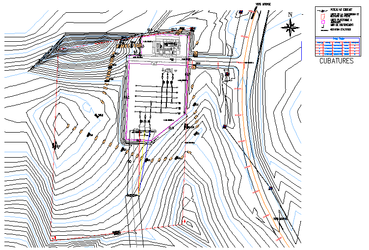
Contour plan
Description
Here is an autocad dwg file for Contour plan . It is a topographic map on which the shape of the land surface is shown by contour lines, the relative spacing of the lines indicating the relative slope of the surface.
File Type:
DWG
Category::
Details
Sub Category::
Construction Details
type:
Gold
viddhi
chajjed
View Profile
View Profile
Download
Add to libary
find Latest
Related
Files