Planimetric & Vertical Control.
Description
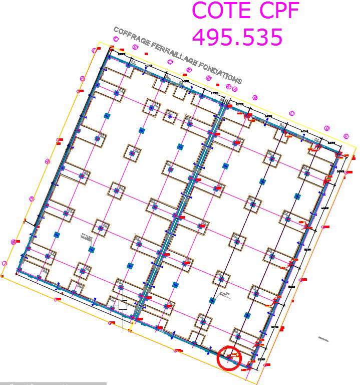
Primary Control Stations are Observed/Occupied (Double Window Averaging) using Leica GNSS Technology, with the resulting data Post-Processed in specialist Survey Software to produce Station Coordinates related to Ordnance Survey National Grid Reference System. For more details download the Autocad drawing file with detailed dimensions and specifications of this file. This can be used by architects and engineers. Download this 2d AutoCAD drawing file.