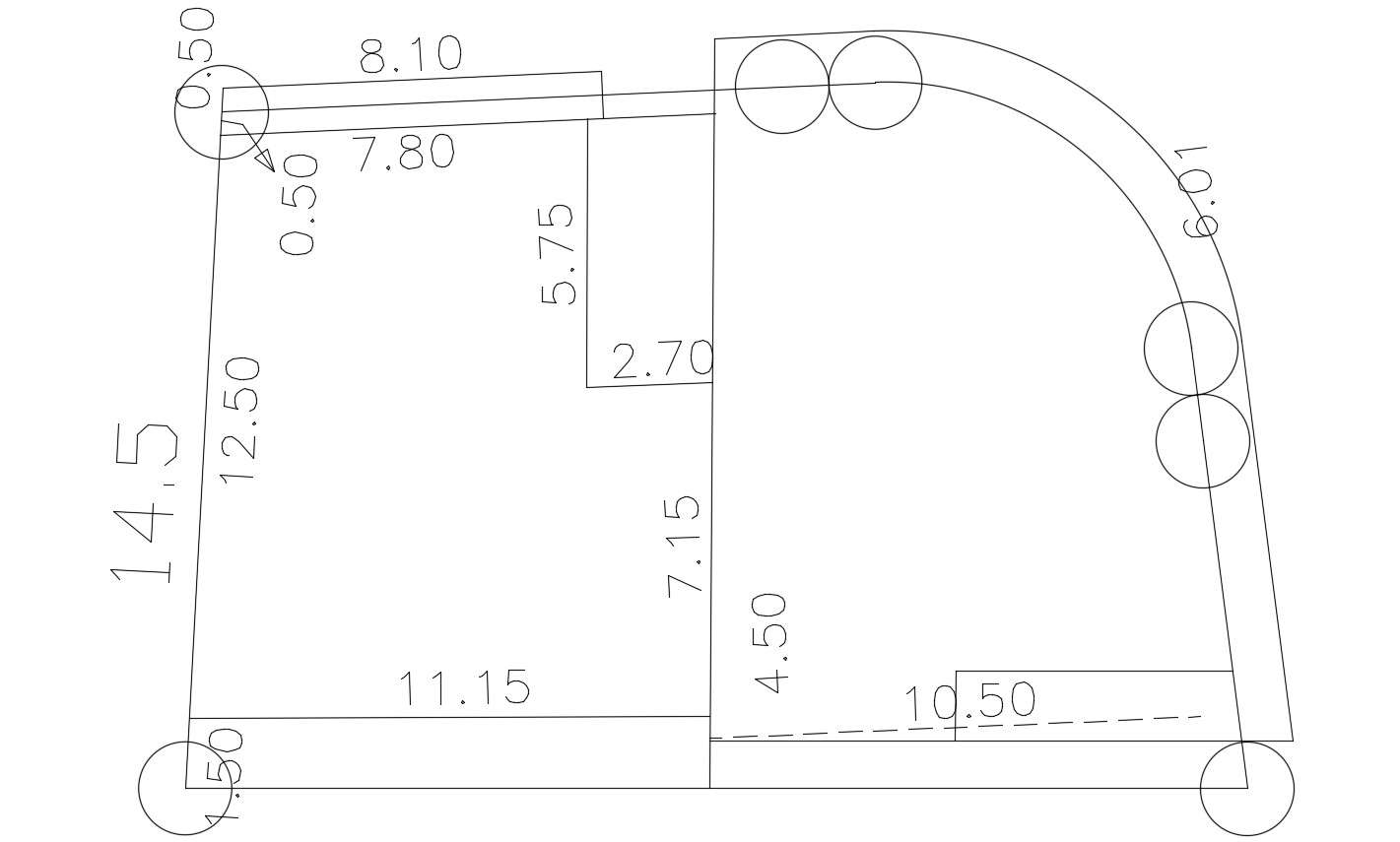
this is the drawing of survey many plotting marking and site with peripheral dimension details, with outer side road attached, download this CAD file.
Police station building de
Town architecture detail 2
Society Planning Design DW
Saintain Venezuela city la
Urban habilitation project
Landscaping Area Planning
Urban Town Plan Survey Pla
Reinforced Cement Ditch Su
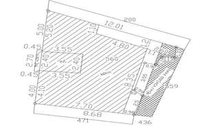
Contour mapping detail of
landscaping Floor Plan Des
Download Free DWG File Of
Topographical architectura