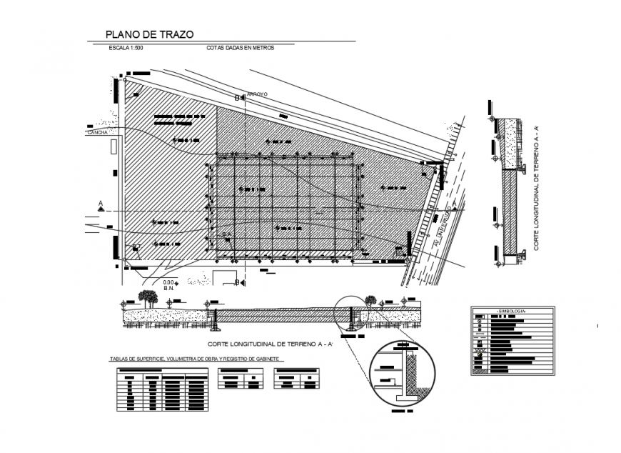
Longitudinal cutting of land and site plan details dwg file
Description
Longitudinal cutting of land and landscaping details that includes a detailed view of tracing plane scale 1: 500 levels given in meters, totall surface, occupied surface, stream, surface tables, work volumetry and cabinet registration, earth, compacted, symbology details and much more of landscaping details.